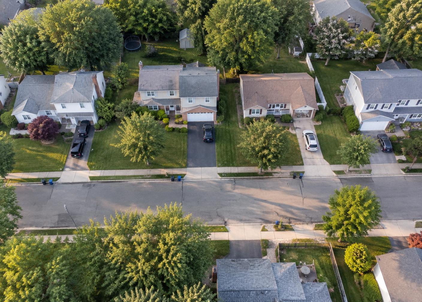
Aerial photography and video that shows scale, setting, rooflines, site progress, and the full scope of a property.
Some things simply cannot be explained from the ground. Lot size, how a property sits on its street, the condition of a roof, the layout of a backyard build, the progress of a site over months — all of it becomes obvious the moment the camera goes up thirty feet.
We fly for purpose, not for spectacle. For listings that means clean orbit stills, a straight-down frame showing the lot, and approach angles that include the neighborhood context a buyer is actually evaluating. For roofing and excavation it means repeatable overhead frames that make condition and progress directly comparable.
Aerial video is captured as controlled, steady moves — reveals, pull-backs, and slow passes — then cut into both horizontal versions for your website and vertical versions for social. No frantic racing shots; the footage is meant to make the property look good, not to show off flying.
All flights are operated legally and within airspace rules. Where a site sits in restricted airspace or weather does not permit safe flight, we tell you before the shoot rather than after.
Who it is for
For real estate professionals, roofers, builders, developers, landscapers, and large outdoor projects.
How to use it
Give customers the perspective they cannot get from the ground.
What's included
- Aerial stills of property and lot
- Overhead condition and progress frames
- Cinematic aerial video clips
- Horizontal and vertical edits
- Repeatable angles for progress sets
- Legal, airspace-compliant operation
Ready when the project is.
Your next project is already content.
We’ll help you capture it.